Agree what needs capturing
We discuss the building, the intended work and the information the team needs. This establishes the scope of the survey and the outputs to be used during planning and design.
Reliable information about the existing space gives designers and project partners a stronger starting point. Our reality capture work records the building so teams can plan and coordinate with a shared understanding of its dimensions and geometry.
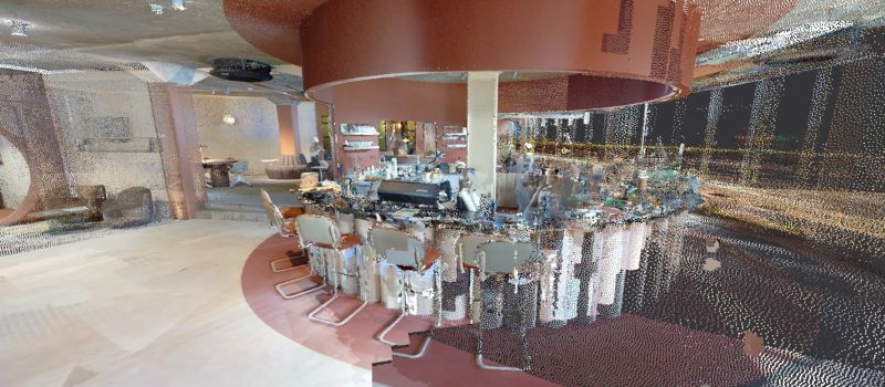
The output is agreed around the project. It can include laser scans, point clouds, virtual tours and Revit models from scan data. We help establish which information is needed and how it will support the design and the people using it.
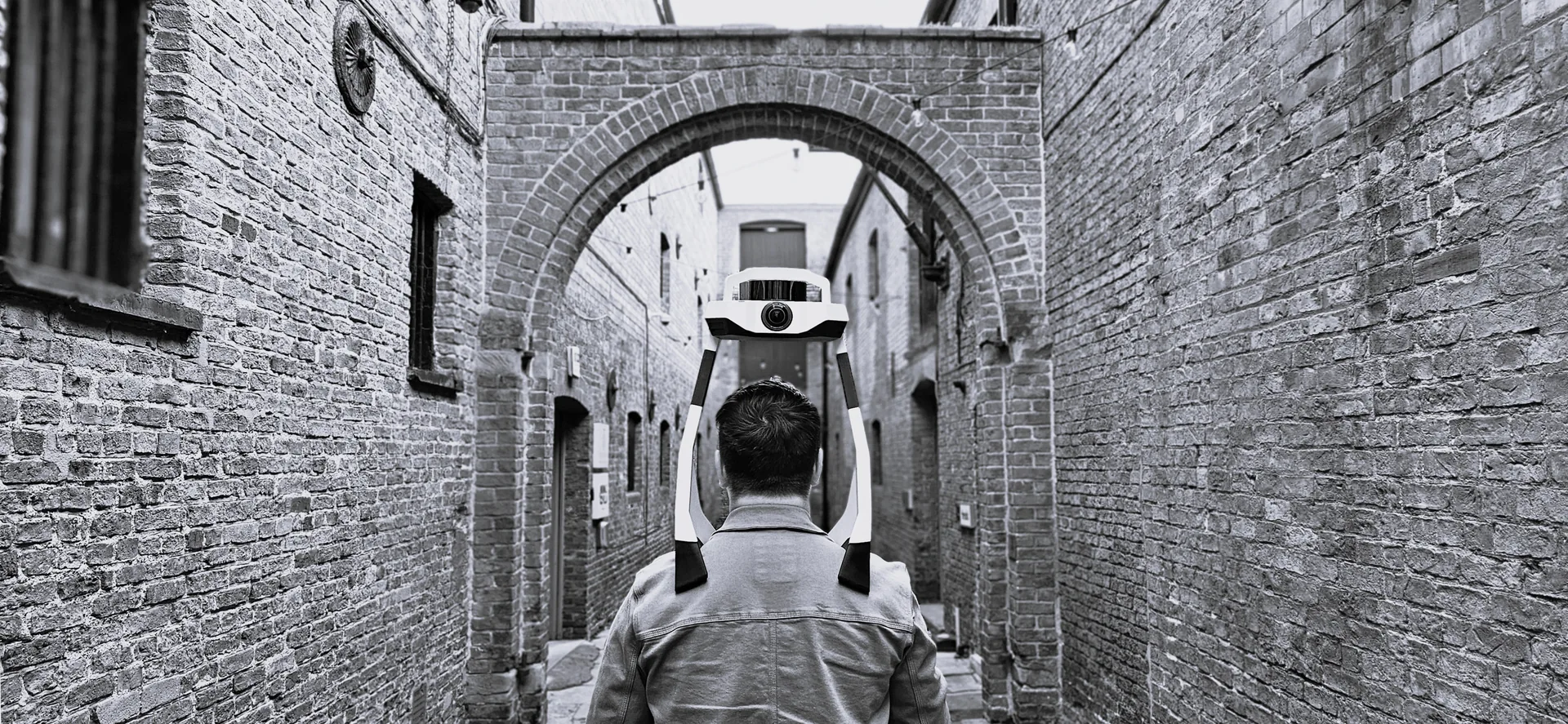
We discuss the building, the intended work and the information the team needs. This establishes the scope of the survey and the outputs to be used during planning and design.
Laser scanning captures spatial information that can help clarify irregular geometry and relationships within the building. A consistent record supports teams working across disciplines and locations.
Point clouds and agreed model outputs support test fits, design development and coordination. The value comes from giving the project team usable building information for the decisions ahead.
Fresh worked with Allenby Commercial to laser scan Monocle, a five storey office building in Hull. Our contribution was a detailed point cloud recording the existing space for the project team.
Read the project storyTalk with our team about your building, your brief and the support you need.
Discuss your projectTell us about your next concept, location or rollout. Connect with your regional team below.
May we use optional cookies to understand website use? Change your choice in Cookie preferences. Cookie details.